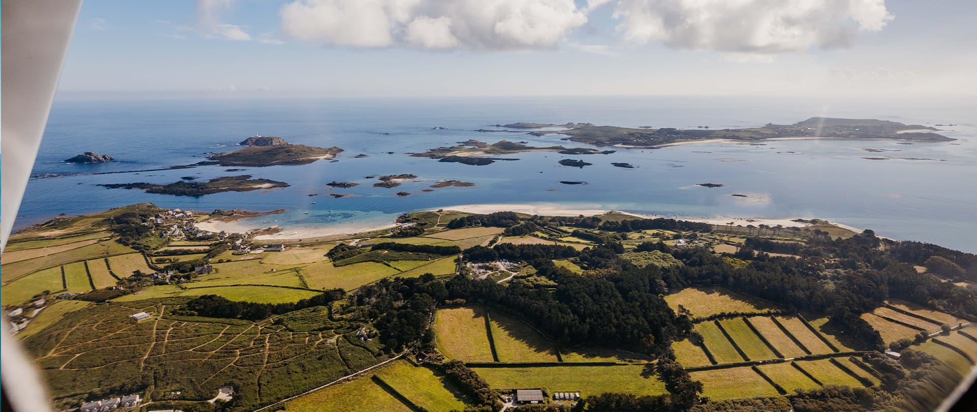
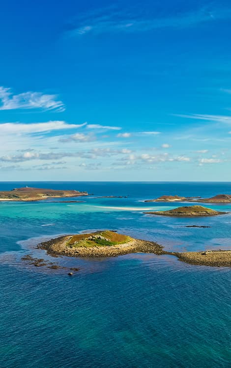
Uninhabited
Map of the uninhabited islands
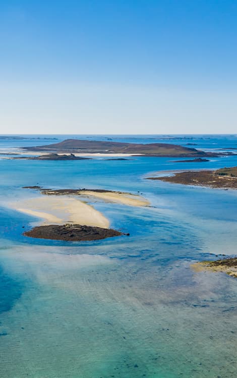
The Isles of Scilly is the UK’s largest archipelago, it has around 140 uninhabited islands. Traces of past small communities can still be seen on some of these isles. Folklore suggests they were once all joined together to form the lost mythical Arthurian land of Lyonesse. Today, these islands provide havens for wildlife, especially seabirds.
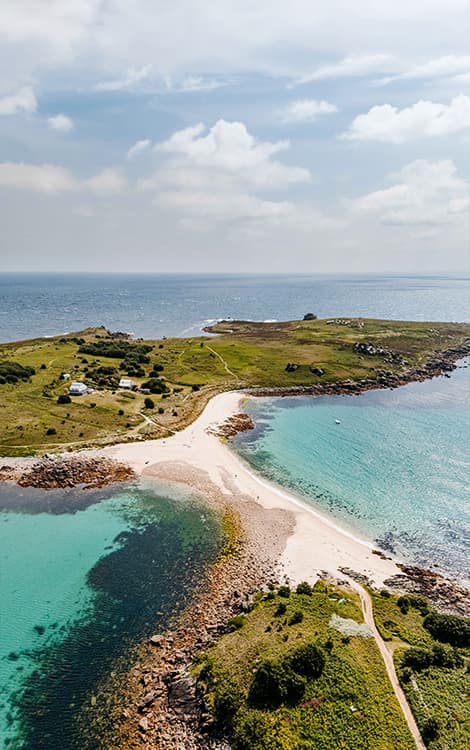
Annet
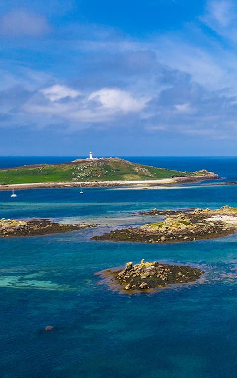
Annet, the second-largest uninhabited island, lies west of St Agnes. This low-lying island is a protected wildlife sanctuary, home to seabirds including puffins and Atlantic grey seals. While landing is prohibited year-round to minimise disturbance, you can enjoy fantastic wildlife safaris by boat, offering you wonderful opportunities to admire the island and its inhabitants from the water.
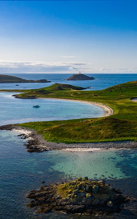
The mystery of Lyonesse
Fact or folklore?
The Isles of Scilly are steeped in myth and mystery and were once believed to be part of a larger landmass called Lyonesse. Legend says this rich kingdom, filled with towns, forests, and churches, stretched between Land’s End and the islands before being swallowed by the sea in a single night as punishment for its people’s sins. It left only one survivor who escaped on horseback. The story became linked with Arthurian legends and has inspired centuries of literature, folklore, and speculation, possibly reflecting memories of real coastal flooding after the Ice Age.